Have you ever used a map to find your way? Today we have GPS and mobile apps, but long ago, making maps was not easy at all! Let’s explore how maps were created in the past.
🌍 Early Maps: Drawn from Memory
The first maps were very simple. People drew them from memory on cave walls, stones, or paper.
These maps showed nearby rivers, mountains, and paths, but they were not always accurate.
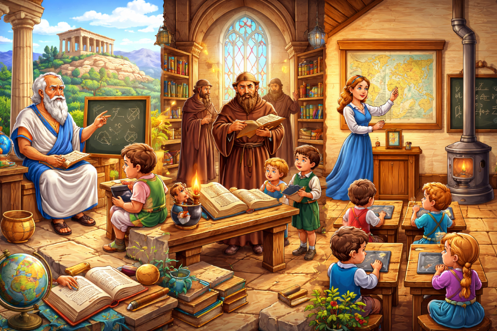
🧭 Explorers and Travelers
As people started traveling more, explorers made better maps. They observed the land and carefully drew what they saw.
One famous mapmaker was Ptolemy, who helped improve map-making many years ago.
⭐ Using the Stars
Sailors used the stars to find their way across oceans. They used tools to measure the position of stars and figure out directions.
This helped them draw maps of seas and new lands.
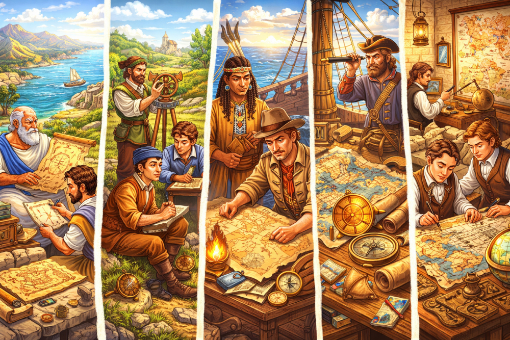
🧰 Tools for Map Making
In the past, people used simple tools like compasses and measuring chains.
The compass helped them know directions like north, south, east, and west.
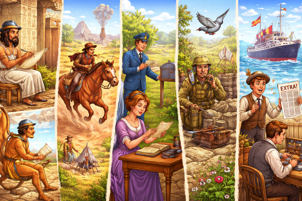
🚢 Discovering New Lands
During long sea journeys, explorers made maps of new places they discovered.
For example, Christopher Columbus traveled across the ocean and helped improve world maps.
🗺️ Maps Become More Accurate
Over time, maps became more detailed and accurate. People started using better measurements and drawings.
They added roads, cities, rivers, and even borders between countries.
📱 Maps Today
Today, we use digital maps on phones and computers. Apps like Google Maps can show directions instantly!
Some old maps had drawings of sea monsters because people didn’t know what was in the oceans!
Maps help us explore and understand the world. Thanks to the hard work of people in the past, we can easily find our way today!